
La Dôle Hike

It was a beautiful weekend when we went for a hike to peak of La Dôle in the Jura Mountains. It is the second highest peak in the Swiss Jura, the highest being Mont Tendre. The white structure you see at the top of the mountain was the goal for the hike. I understand that the ball itself is an aviation radar. The other facilities on top of the hill are a Swiss weather station, television, radio and telecommunications infrastructure.

The two people you see on these photographs are my officemates, Jan and Gaegwarn. The hike must have taken around three hours to the summit but you lose track of time with the beauty that surrounds you.

The view that greets you as you reach the summit is nothing short of spectacular. High above Lake Geneva 1677.2 meters), La Dôle offers wonderful wide views of the whole alpine chain as far as Mont Blanc. A third of the way up this photograph you will see Lake Geneva. Beyond it are the Swiss Alps and the beautiful blue skies of Geneva.
This is the view if you look the other way around.

The path takes you to the border with France. I understand that this low stone wall is the border.

You will pass by restaurant Barillette at 1,445 meters. This is an hour away from the summit of La Dôle.
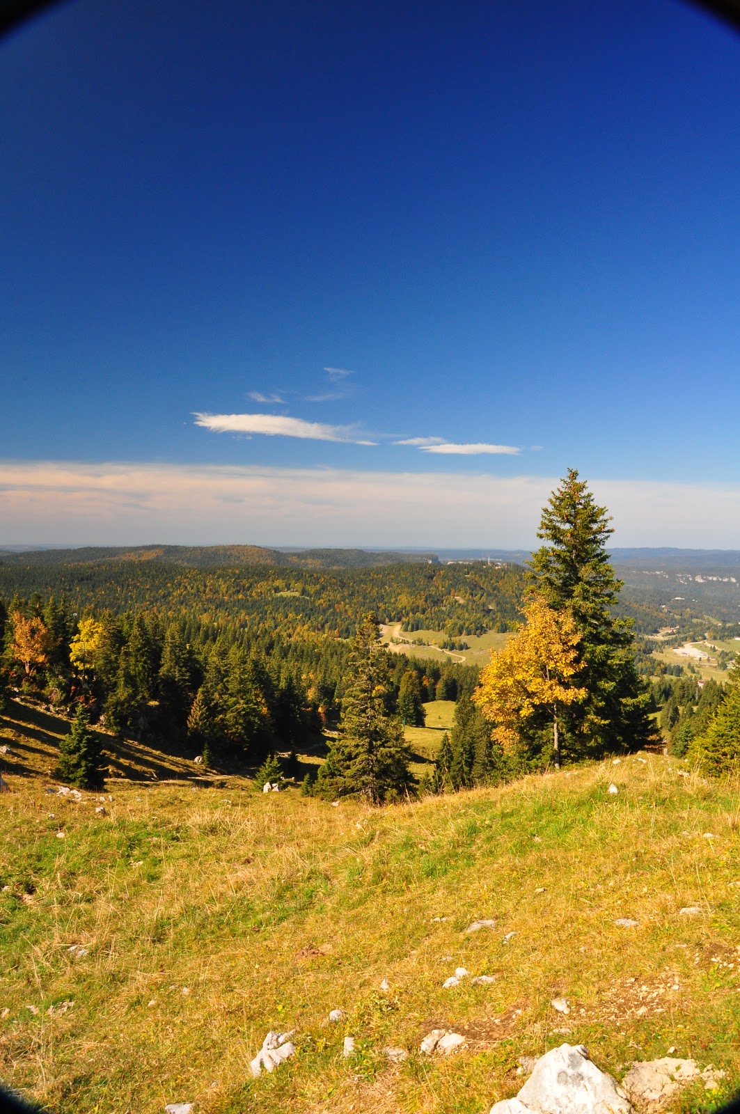
More photos:


No comments:
Post a Comment